Geographic Information Systems (GIS)
Geographic Information Systems (GIS)
Associate of Science Degree, Associate of Applied Science Degree, Certificates
Available at: Heritage Campus

Program Overview
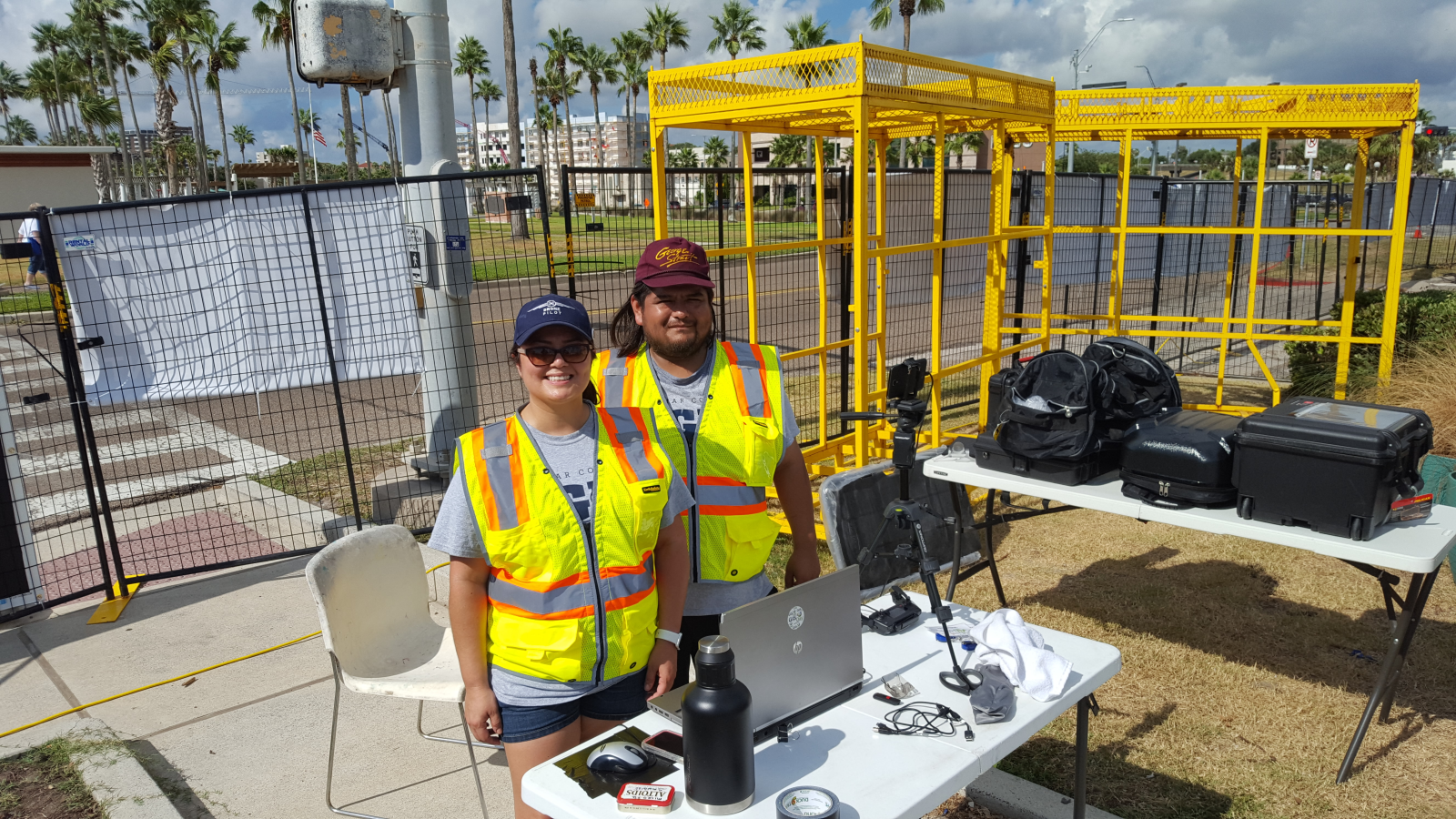
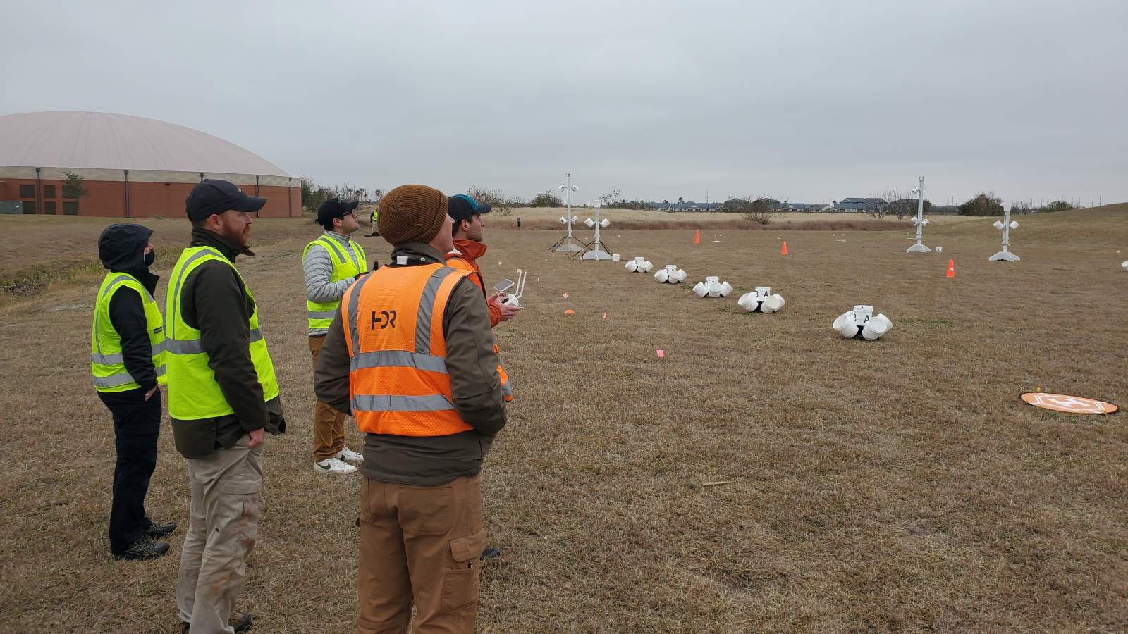
The Geographical Information Systems (GIS) program is designed to prepare students with the skills and knowledge required to enter the geospatial technology workforce. GIS workers prepare digital maps and data using modern GIS tools and software. Students will learn to operate GPS receivers, surveying equipment and GIS software, such as ESRI ArcGIS™.
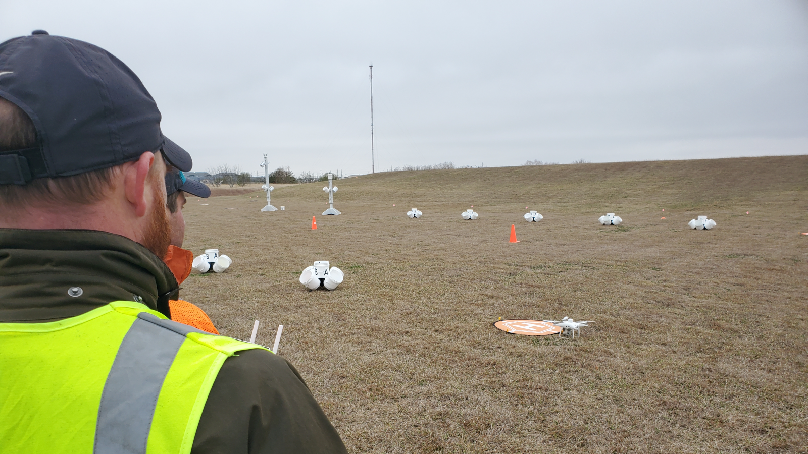
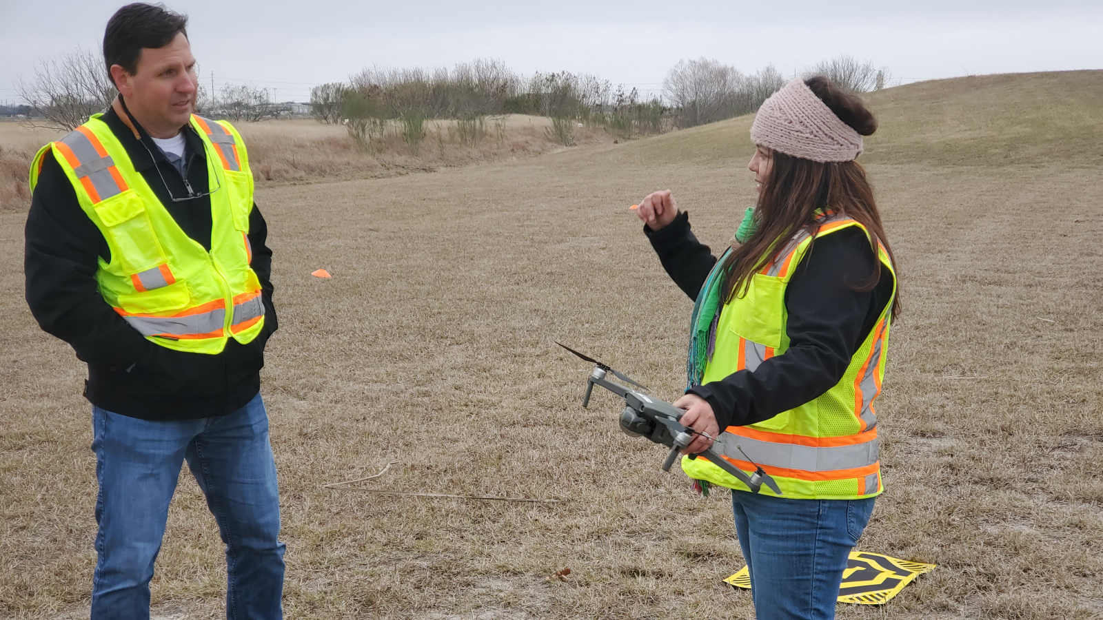
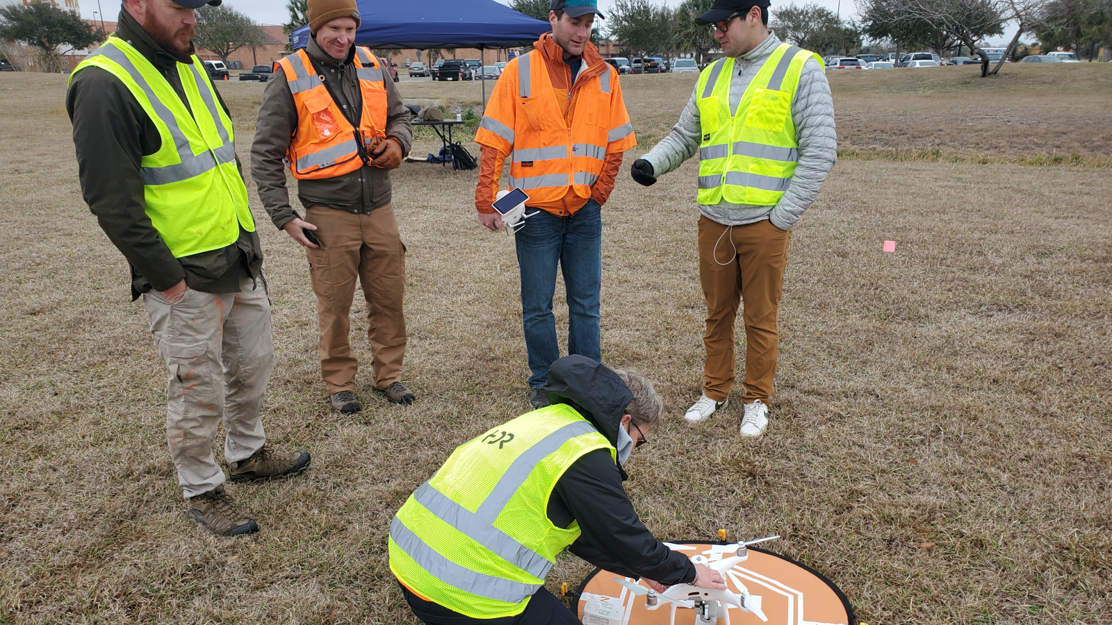
Careers in GIS technology include engineering firms, surveying companies, law enforcement, wildlife management, public utility, and local/state/federal governments. Students may optionally learn to fly and operate Unmanned Aerial Systems (UAS), commonly called “drones." The UAS certificate adds the latest technology skills to prepare graduates for high-paying and satisfying careers.
Del Mar College offers one-semester certificates, one-year certificates, and two-year Associates degrees in GIS.
Visit our department webpage for more information and program options.
Computer Science, Engineering, & Advanced Technology Department
Curriculum
- Geographical Information Systems (GIS), Associate of Science
- Geographic Information Systems, Associate of Applied Science
- Information Technology Essentials: Geographic Information Systems, Certificate
- Geographical Information Systems Analyst - Level II, Certificate
- Artificial Intelligence in GIS, Occupational Skills Award
- GIS - Level II, Occupational Skills Award
- GIS - Level I, Occupational Skills Award
- Geographical Information Systems (GIS) Drafting, Occupational Skills Award
- Unmanned Aircraft Systems (UAS) - Geographical Information Systems (GIS), Occupational Skills Award
Careers
Page last updated October 25, 2024.
![]()
![]()